Satellite navigation
A satellite navigation system or satnav system is a system of satellites that provide autonomous geo-spatial positioning with global coverage.
It allows small electronic receivers to determine their location (longitude, latitude, and altitude) to high precision (within a few metres) using time signals transmitted along a line of sight by radio from satellites.
The signals also allow the electronic receivers to calculate the current local time to high precision, which allows time synchronisation. A satellite navigation system with global coverage may be termed a Global Navigation Satellite System (GNSS).
TomTom
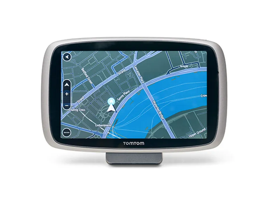
Displayed here is a TomTom Go 610 Global Positioning System (GPS) navigation device. TomTom NV is a Dutch company, founded in 1991, that produces navigation and mapping products.
The TomTom Go product is an all-in-one GPS navigation device with a touch screen, speaker, USB port, and internal lithium-ion battery. Most models have Bluetooth transceivers that allow connection to a smartphone which allows it to make and receive calls.